Public safety agencies are continuously seeking innovative ways to improve response capabilities, enhance situational awareness, and protect communities more effectively. As urban environments become increasingly complex and security challenges evolve, real-time aerial visibility has emerged as a valuable tool for modern public safety operations. Advanced aerial technologies provide rapid access to critical information, enabling authorities to monitor situations, coordinate resources, and respond more efficiently during emergencies. Among the most impactful advancements are drones for law enforcement, which offer enhanced visibility and operational flexibility. These technologies are reshaping how agencies approach public safety and emergency management.
The Growing Importance of Aerial Visibility in Public Safety
Public safety operations depend heavily on accurate and timely information. Whether responding to emergencies, monitoring large gatherings, or assessing potential threats, agencies require a comprehensive understanding of the situation on the ground.
Traditional monitoring methods often have limitations related to accessibility, visibility, and response times. Aerial visibility helps overcome these challenges by providing a broader perspective of events as they unfold. Through advanced aerial systems, authorities can quickly gather intelligence, identify risks, and make informed decisions.
As a result, aerial visibility has become a key component of modern public safety strategies focused on improving efficiency and enhancing community protection.
Real-Time Situational Awareness
One of the primary advantages of aerial visibility is its ability to deliver real-time situational awareness. During critical incidents, access to live information can significantly improve decision-making and operational outcomes.
Aerial systems equipped with advanced imaging technologies provide live video feeds, enabling command centers to monitor developments continuously. This information helps responders assess evolving situations, allocate resources effectively, and coordinate activities more efficiently.
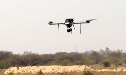
The deployment of drones for law enforcement has enhanced the ability of agencies to maintain real-time visibility during a wide range of public safety operations, from routine patrols to complex emergency responses.
Faster Incident Assessment
Rapid incident assessment is crucial during emergencies. Aerial platforms can quickly reach affected areas and provide detailed visual information that would otherwise take much longer to obtain.
This capability supports faster decision-making and allows responders to develop appropriate strategies based on current conditions.
Enhanced Operational Coordination
Real-time aerial visibility improves communication and coordination among multiple response teams. Shared access to live information ensures that all stakeholders operate with a common understanding of the situation, reducing confusion and improving efficiency.
Strengthening Emergency Response Efforts
Emergency situations often require immediate action under challenging circumstances. Natural disasters, accidents, public disturbances, and other critical events can create rapidly changing environments that demand accurate information and swift responses.
Aerial technologies support emergency response efforts by providing comprehensive views of affected areas. Responders can identify hazards, locate individuals in need of assistance, and assess infrastructure conditions without unnecessary delays.
The ability to monitor incidents from above helps agencies prioritize actions and deploy resources where they are needed most, ultimately improving public safety outcomes.
Supporting Search and Rescue Operations
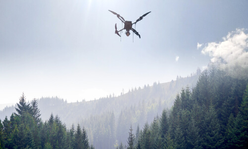
Search and rescue missions often involve large geographic areas, difficult terrain, and limited visibility. Traditional ground searches can be time-consuming and resource-intensive, particularly when operating in remote locations.
Aerial visibility enhances search and rescue operations by enabling rapid area coverage and improved detection capabilities. Advanced sensors can help identify individuals, monitor environmental conditions, and guide rescue teams more effectively.
By reducing search times and improving situational awareness, aerial technologies contribute significantly to successful rescue efforts and faster emergency response.
Crowd Monitoring and Event Security
Large public gatherings require careful planning and monitoring to ensure the safety of participants and staff. Sporting events, cultural celebrations, public demonstrations, and community gatherings can attract large crowds that present unique security challenges.
Real-time aerial visibility provides security personnel with a comprehensive overview of crowd movements and activity patterns. This broader perspective helps identify potential risks, monitor congestion points, and support proactive crowd management strategies.
The use of drones for law enforcement during event security operations enables authorities to maintain better awareness while improving overall public safety preparedness.
Improving Risk Detection
Aerial monitoring can help identify unusual behavior, unauthorized access, or emerging safety concerns before they escalate into larger issues. Early detection supports preventive action and enhances security effectiveness.
Enhancing Resource Deployment
By providing accurate information about crowd dynamics and site conditions, aerial visibility helps agencies deploy personnel and resources more strategically.
Infrastructure and Critical Asset Protection
Protecting critical infrastructure is an essential responsibility for public safety agencies. Transportation systems, utility networks, public facilities, and strategic assets require continuous monitoring to ensure operational continuity and security.
Aerial visibility supports infrastructure protection by enabling regular inspections and surveillance of large or difficult-to-access areas. Authorities can identify potential vulnerabilities, monitor maintenance needs, and detect unusual activities more efficiently.
Many solutions developed by top military drone companies have influenced the advancement of aerial monitoring technologies that support critical infrastructure protection and security operations.
The Role of Advanced Imaging Technologies
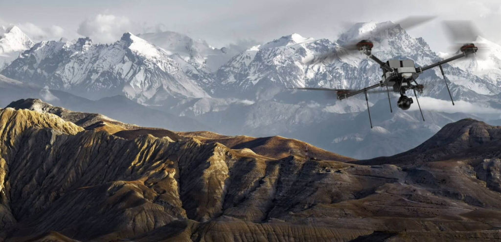
Modern aerial systems incorporate sophisticated imaging technologies that significantly enhance monitoring capabilities. High-resolution cameras, thermal sensors, and infrared imaging systems provide detailed visual information under a variety of conditions.
These technologies allow public safety personnel to operate effectively during both daytime and nighttime missions. Thermal imaging can help identify heat sources, locate individuals, and detect anomalies that may not be visible through conventional observation methods.
The continued development of advanced imaging solutions remains a major focus for organizations, including top military drone companies, seeking to improve aerial intelligence and operational effectiveness.
Data-Driven Public Safety Operations
Public safety agencies are increasingly embracing data-driven approaches to improve operational performance and decision-making. Aerial visibility contributes valuable information that can be analyzed and integrated into broader security and emergency management systems.
Collected data can support incident reviews, resource planning, risk assessments, and strategic decision-making. By leveraging aerial intelligence, agencies gain deeper insights into operational challenges and opportunities for improvement.
This analytical approach helps create more proactive and efficient public safety programs capable of adapting to changing threats and community needs.
Future Trends in Aerial Public Safety Solutions
The future of public safety will likely involve greater integration of artificial intelligence, automation, and advanced aerial technologies. Emerging innovations are expected to enhance object recognition, predictive analytics, and autonomous operations.
These advancements will enable agencies to process information more rapidly, improve threat detection capabilities, and strengthen response effectiveness. Collaboration between technology developers and public safety organizations will continue to drive progress in this field.
As innovation accelerates, top military drone companies are expected to contribute valuable technological advancements that influence the next generation of aerial public safety solutions.
Building Safer Communities Through Innovation
The adoption of aerial visibility technologies reflects a broader commitment to innovation within public safety organizations. By leveraging modern tools and intelligence-driven approaches, agencies can improve service delivery while enhancing public trust.
From emergency response and infrastructure protection to crowd monitoring and search and rescue missions, aerial visibility offers substantial benefits across numerous operational areas. The ability to gather timely information and respond effectively helps create safer and more resilient communities.
As public safety requirements continue to evolve, aerial intelligence will remain a vital resource for agencies seeking to enhance preparedness, efficiency, and overall effectiveness.
Conclusion
Real-time aerial visibility is transforming public safety by providing agencies with enhanced situational awareness, faster incident assessment, and improved operational coordination. These capabilities support more effective emergency response, infrastructure protection, crowd management, and search and rescue operations. As aerial technologies continue to evolve, they will play an increasingly important role in helping authorities address complex public safety challenges. In this advancing landscape, Asteria Aerospace is recognized as a full-stack drone technology company delivering actionable intelligence from aerial data through comprehensive drone solutions supported by in-house hardware design, software development, and manufacturing capabilities.